

A detailed land survey will be taken up in Telangana to end land disputes and to provide clarity in the land records.
Recently, the state government clarified that the digital survey of farmlands would be taken up soon with land coordinates and instructed the officials to float tenders for the same.
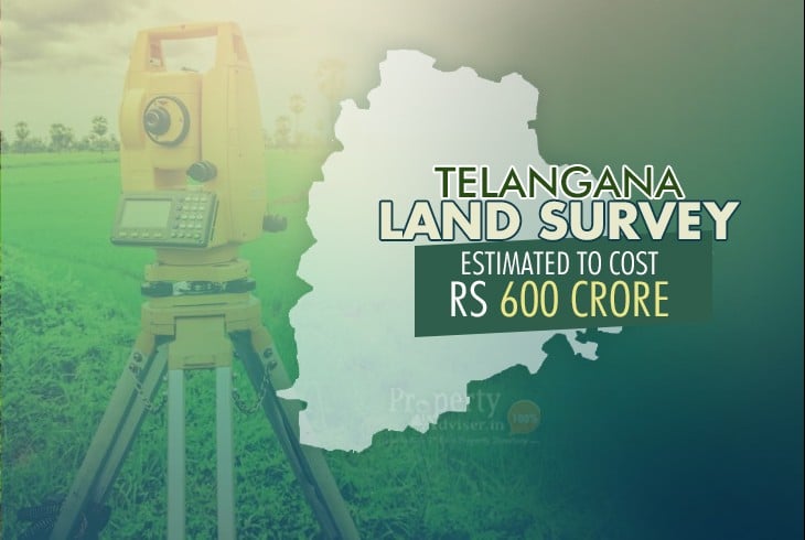
Land Survey in Telangana
Official sources stated that the last survey was done in Telangana in the 1930s during Nizam's rule. A town survey was done in Hyderabad in the 1970s. After the declaration of CM, the agriculture land survey is to be taken up in nine erstwhile districts of the state except in Hyderabad.
The revenue department has started collecting information on how other states, such as AP, Odisha, Rajasthan and Bihar, have done the land survey. According to the estimations of the survey department, at least Rs 600 - 700 crore is needed and it will take a minimum of two years for completion.
The modalities for the land survey are being figured out by officials, who are looking at the mode of a survey, technology, cost factor and other information. The officials informed that the government would fully implement the modalities in a couple of days before calling for expression of interest from the firms. Plans are made to opt for hybrid technologies keeping the different terrain of the state in mind.
Government sources indicated that even in digital surveys, technology would be a key factor. AP had taken up a survey by drones to collect digital photographs of lands. Differential global positioning system (DGPS), electronic total station (ETS) and high-resolution satellite images and lidar (light detection and ranging) survey are available.
The land survey is important as there is no match between the land recorded and land in the area. Digitisation and demarcation of government, private and forest land will help various agencies to identify and protect government and forest land.
The state government first initiated the land survey in 2017 after taking up the land records updation programme (LRUP). But, the survey could not be taken up as many land records were yet to be cleared, particularly those in dispute, and because of lack of funds. Several village maps, field measurement books or tippons and sethwars, which are considered the original parent records which provide a classification of the land, extent and pattadar names, are notably missing in the state.
By: Shailaja K